Why is South Carolina called the Palmetto State? Palmetto trees grow on the islands and the seacoast, but the nickname does not come merely from this fact. Early in June, 1776 – a month before the American colonies declared their independence – British warships appeared off the coast of South Carolina. The colonists were not surprised. They had started to build a fort – a 16-foot wall of sand reinforced by palmetto logs – on Sullivans Island at the entrance to Charleston Harbor.
Finally, on June 28, the winds were favorable for the British attack and many well-armed warships moved toward the harbor. Inside the fort were 400 men under the command of Colonel William Moultrie. At nightfall, after 10 hours of bombardment, the British retreated, with all the ships damaged and losses of about 200 men. In the fort the casualties were low. The fortress wall stopped the British cannonballs from reaching their target. Palmetto is a soft wood and the cannonballs sank into the spongy logs. The victory won on that day kept the British from making further attacks in the area for more than two years.
The Land
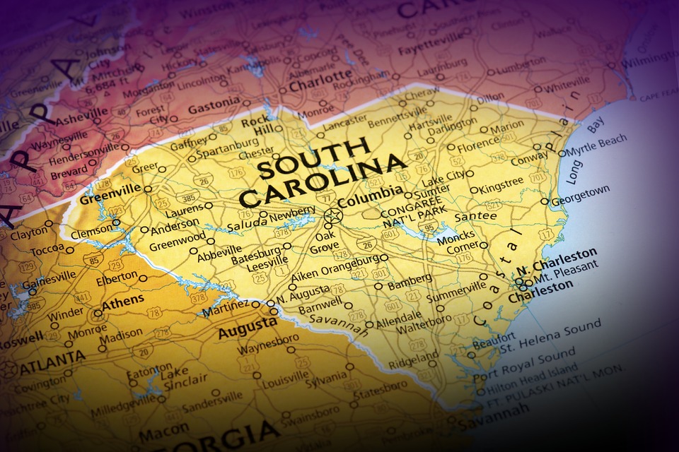
South Carolina is one of a group of states known as the South Atlantic States. It is shaped roughly like a right triangle, with the Savannah River – the southern boundary of the state – forming one leg of the triangle. Columbia, the capital of South Carolina, has the same latitude as Los Angeles, California and roughly the same longitude as Cleveland, Ohio.
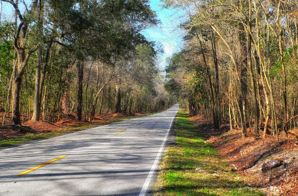
South Carolina is very famous for its swamplands, flat coastal plains, sand hills and the rolling lands of the Piedmont. The variety of plant life in South Carolina is one of its greatest delights to visitors. Almost everywhere, there are interesting trees and shrubs, flowers and other plants both useful and ornamental. (It is not surprising at all that some of South Carolina’s most distinguished residents have been plant specialists.)
The Climate

South Carolina’s climate is generally mild and pleasant. Variations in the climate depend upon latitude, elevation and nearness to the ocean.
Summers are hot and humid, with average July temperatures of about 80 degrees Fahrenheit in most parts of the state. The mountains are considerably cooler. Winters generally are mild. The central and upper parts of the state may have one or more cold waves, when nighttime temperatures drop to 20 degrees or lower. But usually, the cold waves do not last long.
Precipitation is fairly well distributed throughout the year. Most parts of the state receive about 48 inches yearly, although the mountains may receive 70 inches or more. Snowfall also is the heaviest in the mountains, where as much as 7 inches may fall. In other areas the average snowfall varies from little more than a trace to 3 inches.
The length of the growing season varies from 200 days in the mountains to almost 260 days in the southern part of the state. Some of the Sea Islands have an even longer frost-free season.
Exploring South Carolina’s Striking Rivers

Some say that South Carolina’s water bodies have more romantic appeal than the Italian Lakes.
You see, South Carolina is drained by an extensive and exceptionally beautiful system of rivers and streams. The Santee River and its tributaries, for example, make up the most important river system in the state. The Santee is formed by the joining of the Wateree and the Congaree rivers 30 miles southeast of Columbia. The Congaree is formed at Columbia by the joining of the Saluda and the Broad rivers. The Pee Dee River in the eastern part of the state has two main tributaries –the Little Pee Dee and the Lynches. The Savannah River forms most of South Carolina’s boundary with Georgia.
To learn more about South Carolina, come back for part 2.